The Westport Story.
Spring 2017
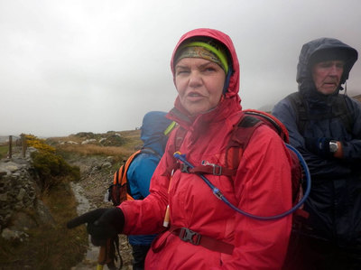
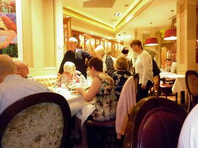
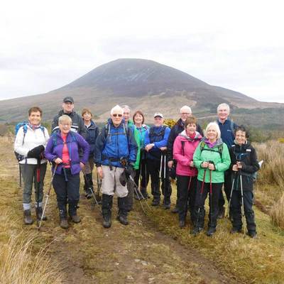
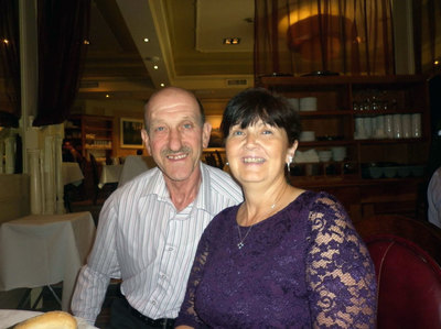
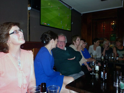
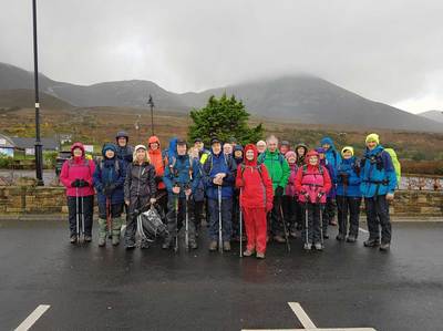
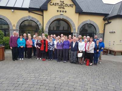
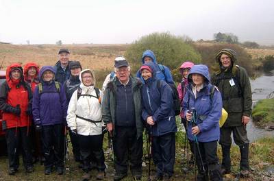
Not all of us like walking in the rain, but the Kilbroney Ramblers walking group were not deterred when rainy Ireland throws its worst at us. So it was on a wet Monday in early April having travelled to Westport on a wonderful spring Sunday, forty-one members contemplated the day ahead, having been fortified by a full Irish breakfast in Westport’s Castlecourt Hotel.
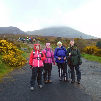
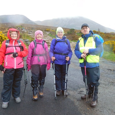
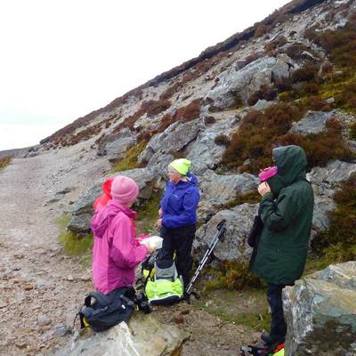
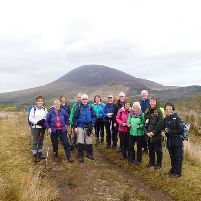
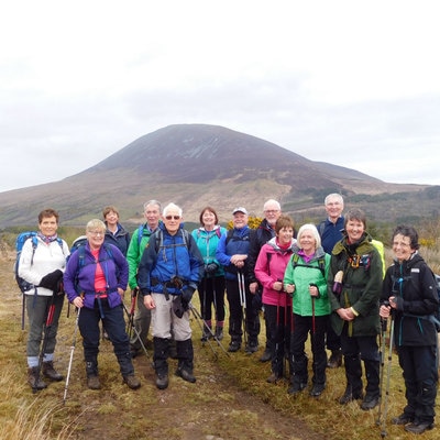
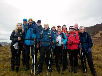
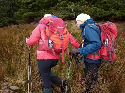
Safety dictated our ultimate goal of the distant Mweelrea Horseshoe Loop was not to be tried because of the weather conditions, but the famous “reek” Croagh Patrick towering to 764 metres above Westport and nearly visible from our hotel just 8 kilometres away was deemed a creditable target. A weather check gave a window of five hours to make the climb to the summit and return down by Bengoram at 559 metres which lies to the west of Croagh Patrick. The B and C plus walkers under the leadership of our chairman William Mitchell and ably abetted by Pat McBride and Liam Gray. C walkers lead by Rosemary Seaman and Martin Smith followed at a slower pace, making 20 walkers in total.
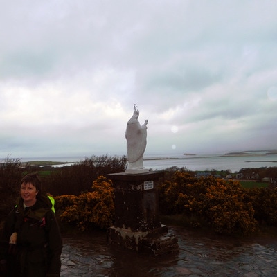
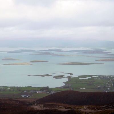
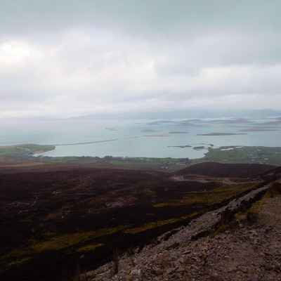
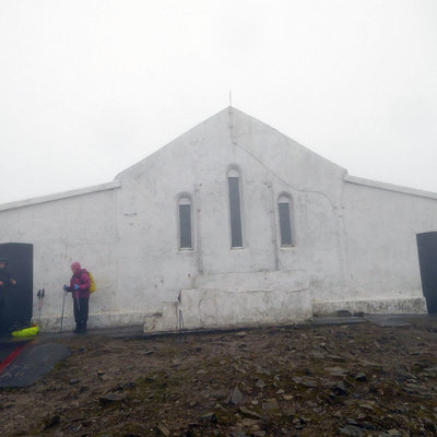
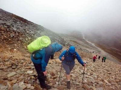
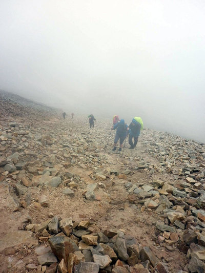
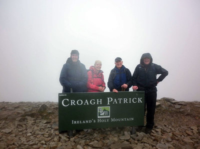
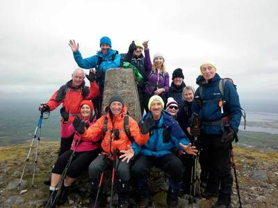
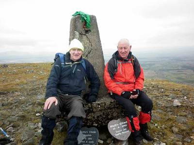
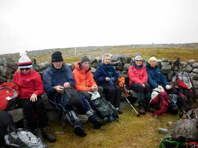
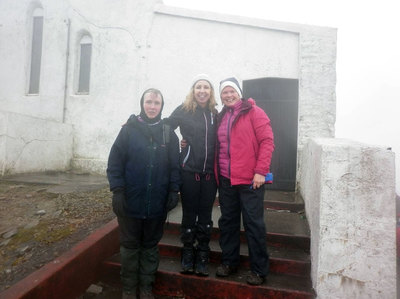
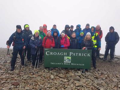
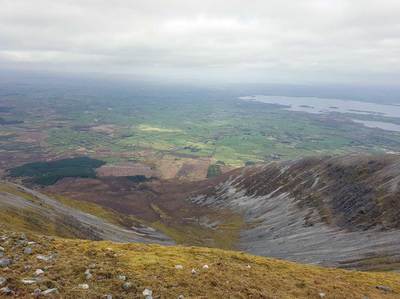
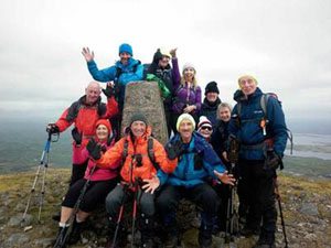
Croagh Patrick is a geophysics climate all on its own and it can produce a variety of weather. On this occasion it was at its best and worse, tempting the team with a pleasant climb with magnificent views of Clew Bay and the surrounding South Mayo countryside. Then on the approach to the summit, while negotiating the famous scree of loose stone “Patrick” lowered a thick blanket of cloud, limiting visibility and alerting the walkers of more elements to come. Summiting Croagh Patrick can be an exhilarating experience both physically and spiritually and as each walker reached the peak and discovered the Oratory perched in the clouds a sense of personal achievement was felt by all. The Oratory offered scant shelter as packed lunches, hot coffee and copious amounts of water were taken. Photographs, momentos of a tough climb, were also hurriedly taken and then it was on to Bengoran ridge and the way down.
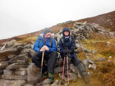
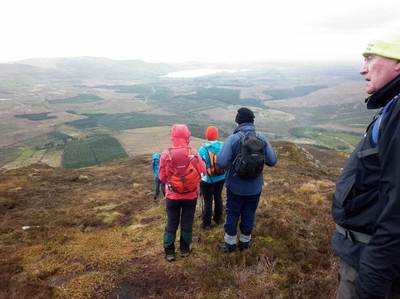
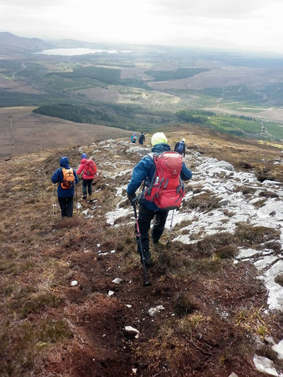
Here unexpectedly, as the high metres began to recede behind the walkers, even higher winds were encountered forging gusts to storm proportions and causing some heart stopping moments. The B and C plus teams with their experience were able to proceed at a pace regardless of the rough treacherous conditions underfoot. The C team some ways behind struggled in these conditions, hail and heavy rain slowed their progress leaving the ground conditions even more perilous. However with much skilful leadership, Rosemary, Martin and their team returned to base unscathed if a little behind schedule. “Pushing to the timetable was going to be a big risk” Martin remarked later “So we opted for slow and steady and sure enough we all got down safely”
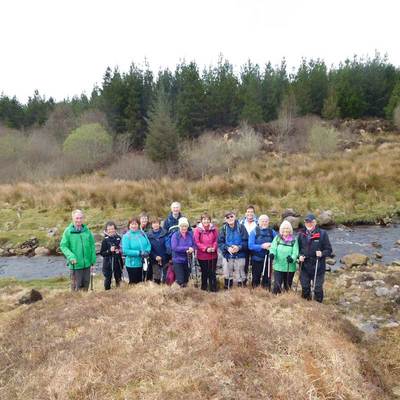
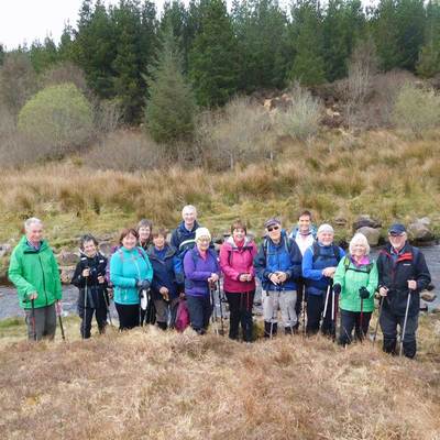
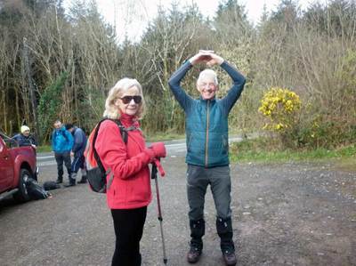
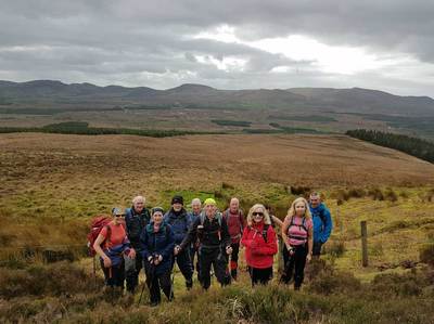
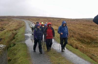
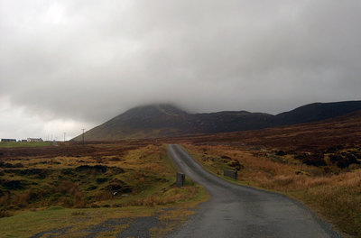
The Owenwee Valley and its bog lies just south of Croagh Patrick sitting at a height of 90 metres the upper valley formed an inviting but challenging walk for the 16 strong group of T (Tuesday) walkers. Arriving at the trailhead at the Owenwee Bridge we were heartened by a break in the heavy rain, none the less wet weather gear was donned and we set off on the 12K walk around the Upper Owenwee Valley. As the Owenwee bog is a “working bog” and peat is still harvested for domestic fuel by the various local families there is a pleasant hard tracked surface for most of the way. The blanket bog is teaming with wild life; the sound of bird song combined with the numerous small swollen streams gurgling their way to the river in the valley below was music to our ears.
A fresh breeze blew, which came from the Connemara Mountains hidden in the low mist away to the South East, giving the group the added incentive to “put an inch to our step” as they say, but we still took the time to admire the piles of cut turf drying at the bog edge and the bog Oak or Yew tree stumps which appeared from the depths of the bog, where they had formed a forest some six thousand years ago.
On our right Croagh Patrick towered above us and as the cloud level raised and lowered, we had the spectacle of glorious rainbows arching and crowning the mountain in all its majesty. It also made us think of our friends in the B and C teams high above us. As we crossed the Owenwee River on an ancient bridge at Barroglanna, the head of the pass, we chanced on more intense turf cutting where modern methods had crept in and the bog was flattened for twenty first century man to farm the bog with his tractor.
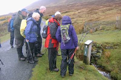
When we reached the forest, about midway on our journey it afforded us pleasant shelter for a break and a welcome rest. We followed the forest track for three kilometres and exited on to “The Pilgrims Way” which is now part of the designated Western Way stretching the length of the West of Ireland and here on the Pilgrims Way we were able to read the way-side posters showing the history of the pilgrimage of Croagh Patrick going back to the eighth century and it was also here we spotted a hen Harrier soaring above seeking a meal in the meadows below us.
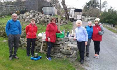
Bull rushes grew in abundance and Margaret one of our walkers gathered some and as she walked and talked she continued to make St. Bridget’s crosses proving she could truly multi task.
Having successfully completed the walk the group adjourned to the comfort of the “Tavern” in the village of Marrisk for some welcome refreshments.
Tuesday and Nephin.
Tuesday, began as a clear crisp day, much different from Monday’s poor weather, with the sun promising a fine days walking but the clouds menacing and threatening another wet day on the mountains, but the sun won and conditions stayed favourable.
Nephin meaning heavenly or sanctuary, at 806 metres it is the second highest peak in Connacht. It is one of those mountains where you can hear the “call of the wild” at some stage in your climb. Nephin is a majestic mountain which dominates the landscape for miles around. Fairly conical in shape there is not many options for a walker, just go for it, get started, grit your teeth and walk up for all of its 806 metres.
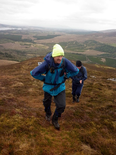
Eleven B walkers, with William Mitchell leading and Pat McBride assisting made the start on the four and a half hour walk at where William calls the start of the tourist route. Following the local forest edge for a mile and then on to open mountain, but blessed with a fine day and a bit of a breeze the going was not too tough on this initial stage. Here the group met a friendly local farmer, who declared he owned the land but did not mind walkers using his land to ascend Nephin.
Soon the ridge was reached and the walking began in earnest. The ridge line leads almost straight to the summit, very open with no mountain features, just the leg crunching upward journey,
Somewhere here a pile of stones is used as a marker to alert walkers they are nearing the summit and then at 806 metres the memorable 360 degree views of the countryside as far as the eye can see.
Lunch and photos, a well earned rest then the downward slog to complete the 10k trek to the trailhead and back to the Castlecourt for much well earned refreshments.
The 12 strong group of C walkers decided on the Keenagh Loop near Nephin. The trailhead was the Bellanaderg Bridge on the R312 road where the Boghnadoon River sweeps under the road and away down the valley on its way to the Atlantic Ocean. With Martin Smith leading and Rosemary Seaman assisting the briefing and target for the three and a half hour walk was set and a start made on the 12k walk along a laneway and into Dereen. Soon the laneway gave way to a “green roadway” once in the distance past, the main road to Newport. This led to some pleasant walking along the shoulder of Letterkeeghaun Mountain, giving views of the spectacular scenery of the valley below looking towards Glenherst and to Newport away to the south.
Leaving the green road the trail crossed some bogey ground before reaching the stunning Glendarragh Valley and a beautiful river walk as the group ascended to the highest point of 270 metres. Lunch break along the river proved to be well earned and totally relaxing.
Here the map and trail markers differed and with some decisive leadership Martin and Rosemary made the decision to follow the map over Knockaffertagh Pass and then the easy descent to close the loop back to the trailhead at Bellanaderg but not before the walkers were rewarded with panoramic views of North Mayo and to the west all the way to the Atlantic Ocean in the distance.
Fjord walking in Connemara, The Killary Harbour walk.
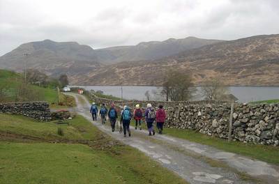
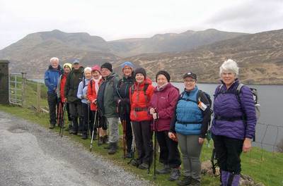
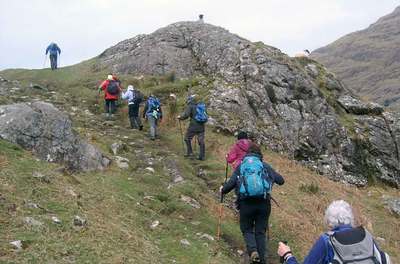
In north west Galway where it meets the border with southern County Mayo lies the Fjord known as Killary Harbour. At eight miles long and at 45 metres deep it is Ireland's deepest and only fjord, formed in the eons of time past by huge shifts in the earths crust and then honed by glaziers in Irelands last ice age. Here Seamus Murphy led the 13 walkers from the T (Tuesday) walking group on one of the most memorable walks undertaken.
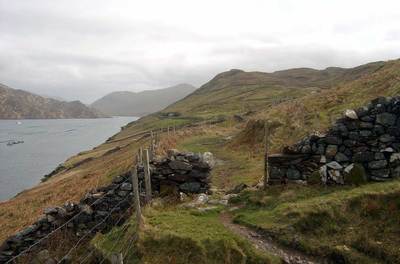
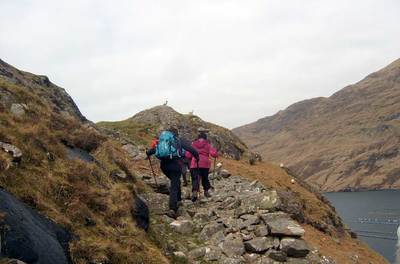
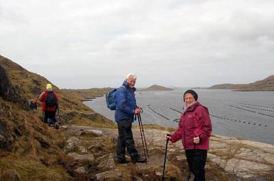
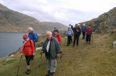
Having assembled in the village of Leenaun, famous as the setting for the film “The Field”, cars were dispatched to Rosroe Quay which was to be the finishing trailhead and the group began the walk from Tullyconor Bridge over the Bunowen River. The first phase of this 9K walk was a tarmac road but on reaching Killary Sheep Farm the trail turned to mountain track as the walk took us along the shoulder of Bunowen mountain, flat for a bit of the way but undulating as it followed the up and downs of the terrain, leading to some interesting walking.
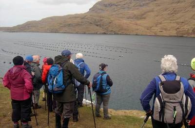
As we left Domasliggaun townland behind us we were greeted with the spectacular view of Killary fjord below us. Its clear clean Atlantic waters used for muscle farming along its complete length. The northern flank of the fjord is used for shipping and small tourist cruise boats which plied below us as we walked.
Over to our right, rising from the mysterious depths of the fjord was the stunning Mweelrea mountain range which marked the start of County Mayo and was the target of our B walkers on Monday. Alas safety decreed Mweelrea was to remain unconquered by the Kilbroney Ramblers this Spring but having been well recied some weeks back by some of our group I have no doubt it will be climbed another day.
Our mountain track gave way to tougher stony walking as we traversed the side of Foher Mountain where a welcome stop was made at roofless famine cottages for coffee and the packed lunches provided by the hotel. Then on past the stone walls and the sparse fields eked out of the mountain side with their lazy potato beds telling us how hard it was, and still is, to get a living in these remote barren hillsides. Birdsong from the Wagtails, Finches and Blackbirds with the odd bewildered wild hare bounding from our path drowned out at times by the call of the gulls sweeping down to the water below added to the pleasure of our walk.
These tracked roads, if you could call them roads, were constructed in 1850 as famine relief to give employment to the local community in the latter years of the great famine but the money ran done and so the tracks became even more rocky and as we walked west, the breeze, you could not call it a wind, was coming directly from the Atlantic. It proved to have warmth and a promise of the end of winter and better summer days ahead. As we rounded Mullnabeck headland Rosroe Quay our trailhead lay in the distance. Here at Mullnabeck we met two Shepherd’s and their dogs checking on their scattered sheep, proving that wild and rugged as these mountains are they are still a place where farmers make a living.
A lone mountain biker passed us and as the Kilbroney Ramblers reached Rosroe Quay the Killary Harbour and its fjord passed into silence, left to the wildlife, and the sheep but waiting on the footfall of the next walkers.
